Terrain Modelling for Real-time Simulation and Synthetic Environments


Aerodromes, Environments, Urban and Mission Areas
Aerodromes & airports
- Geospatial & Geospecific datasets
- Extensive list of aerodrome features
- Precise, accurate and detailed modelling
- Multi-reference : Imagery, Jepp, AIP, CAD
- Adherence to latest ICAO/FAA standards
Terrain & Environments
- Digitization of map data and features
- Precise and detailed data creation
- Urban areas, buildings, roads, tracks etc.
- Terrain, vegetation, trees, water bodies etc.
- Categorization & classification of features
customization
- Fully tailored data creation
- High fidelity, detailed and rich datasets
- Terrain for Engg./Arch./Urban visualization
- Pre-visualization for airport construction
- Maintenance and updation
High Fidelity Data creation
Precise & Tailored
- Customized Product Development
- High quality and tailored vectorization
- Geospatial & Geospecific customization
- Vector and modelling optimization
- Fine tuning to custom real-time engines
- Quality control and assurance
Quick & Robust
- Lightning fast development
- Always on-time delivery
- Quick and responsive communication
- Just in time availability of resources
- High prioritization for urgencies
- Planned contingency framework
Low cost Advantage
- High quality at low costs
- Fixed price contracts
- Parametric estimation and approval
- Transparent budgeting and pricing
- No cost options for building competencies
- Bundled maintenance and updates
ABOUT US
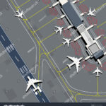
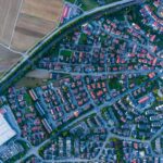
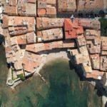
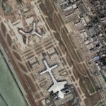
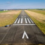
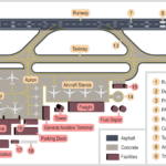
We are a team of experts with over 25 years of experience in development of synthetic terrain datasets for visual systems. We work on vectorization of airports, aerodromes, urban and environment features using CAD, GIS, 3D modelling and real-time engines specific to customer requirements. We offer customized low cost solutions for development of content and data, within a robust project management framework from start to end. We strictly adhere to client confidentiality.
Feel free to contact us:
